New 'Cowles Foundation' for a New Era
Asia-Pacific Institute for Remote Sensing and AI (ASPIRAI)
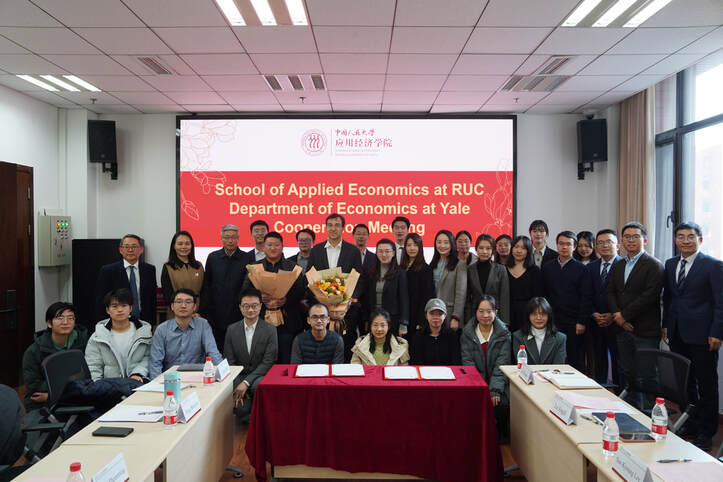
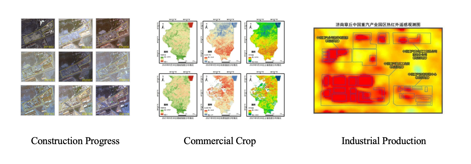
I am currently co-leading a group of scientists, with Professor Costas Arkolakis and Professor Jiansuo Pei, dedicated to advancing our understanding in agricultural and environmental economics and international trade, through the integration of remote sensing and machine learning methodologies. The Asia-Pacific Institute for Remote Sensing and AI (ASPIRAI), established by the Yale-RUC Joint Economic Lab, will now serve as a new 'Cowles Foundation' for a new era. Our team focuses on leveraging strengths in global remote sensing and machine learning algorithms. By adopting the motto 'Theory and Measurement' from the Cowles Foundation for Research Economics as our guiding principle, we stand on the shoulders of giants. We take economic theory seriously and augment our analysis with data gathered from the sky. We use data from controllable private satellites and other satellite sources to establish global databases and monitoring systems, and develop machine learning algorithms with artificial intelligence technology for predicting economic shifts, environmental changes, and potential global crises.
Core Team Members
- Jianwei Ai: School of Applied Economics, RUC
- Mengyu Gao: State Key Lab of Multimodal AI Systems, CAS
- Donghyun Kim: Global Leaders College, Yonsei University
- Xiaohan Shan: School of Finance, Tsinghua University
- Cuihong Yang: Academy of Mathematics and Systems Science, CAS
- Yang Yu: Monetization Infrastructure & AI Analytics, Meta
- Puyu Zhang: School of Applied Economics, RUC
- Tianzhe Zhu: School of Computing, RUC
Controllable Private Satellite
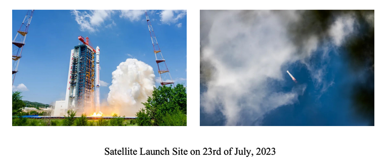
We use self-owned data sources developed and designed for a set of multi-source remote sensing satellites, which were successfully launched in July 2023. The system includes SAR, optical, and infrared satellites, which allows for self-control over the timing and modes of data imaging.
Machine Learning and Data Processing
We employ manual labeling for supervised model training and utilize pre-trained large models, such as the Segment Anything Model, for image segmentation preprocessing. The AI model is capable of isolating objects within images. Additionally, we use self-supervised learning in deep learning models to extract richer insights from satellite imagery. The use of trained machine learning models allows our economic analysis with finer geographical granularity and higher temporal frequency compared to traditional models, offering a unique advantage.
We develop specialized ML algorithms that extract valuable insights from non-traditional datasets, such as images and videos, and integrate them with conventional economic models. These algorithms excel at capturing strong non-linearity and non-Euclidean spatial properties—areas where traditional models often struggle. They are designed to handle large, complex, and high-dimensional traditional data, which significantly enhances predictive accuracy and feature extraction efficiency.


